Earth-Moon model
An interactive 3D visualization of the full cislunar environment — from low Earth orbit and GEO through GTO out to the lunar Sphere of Influence (SOI). Visualizes Earth and lunar SOI boundaries, all five Lagrange points (L1–L5), and low-energy ballistic lunar transfer (BLT) corridors.
Live tracking of active spacecraft with real-time orbital elements, ground tracks, and mission status.
Reconstructed trajectories and orbital data for historical missions — from Apollo to modern lunar orbiters and landers.
Predictive simulations for announced missions, including transfer windows, orbital geometries, and landing approach corridors.
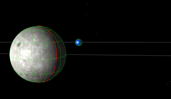
Moon model
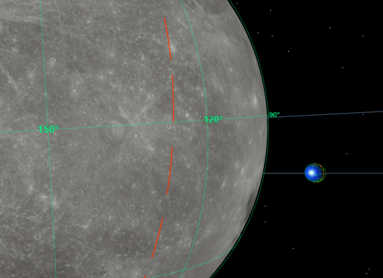
An interactive 3D visualization of the lunar environment — from high lunar orbit through low lunar orbits (LLO, ~100 km) down to the surface. Covers the full orbital stack orbits used for lander descent operations.
Maps key scientific surface data including mineral deposit distributions, magnetic field anomalies, and topographic relief from LOLA and SELENE datasets.
Marks confirmed and projected landing locations for past (Apollo, Luna, Chang'e), active, and planned lander missions with mission metadata.
Live tracking of active lunar orbiters alongside a full archive of historical orbital elements and predictive trajectories for upcoming missions.